

UAV / Drone Technology
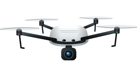
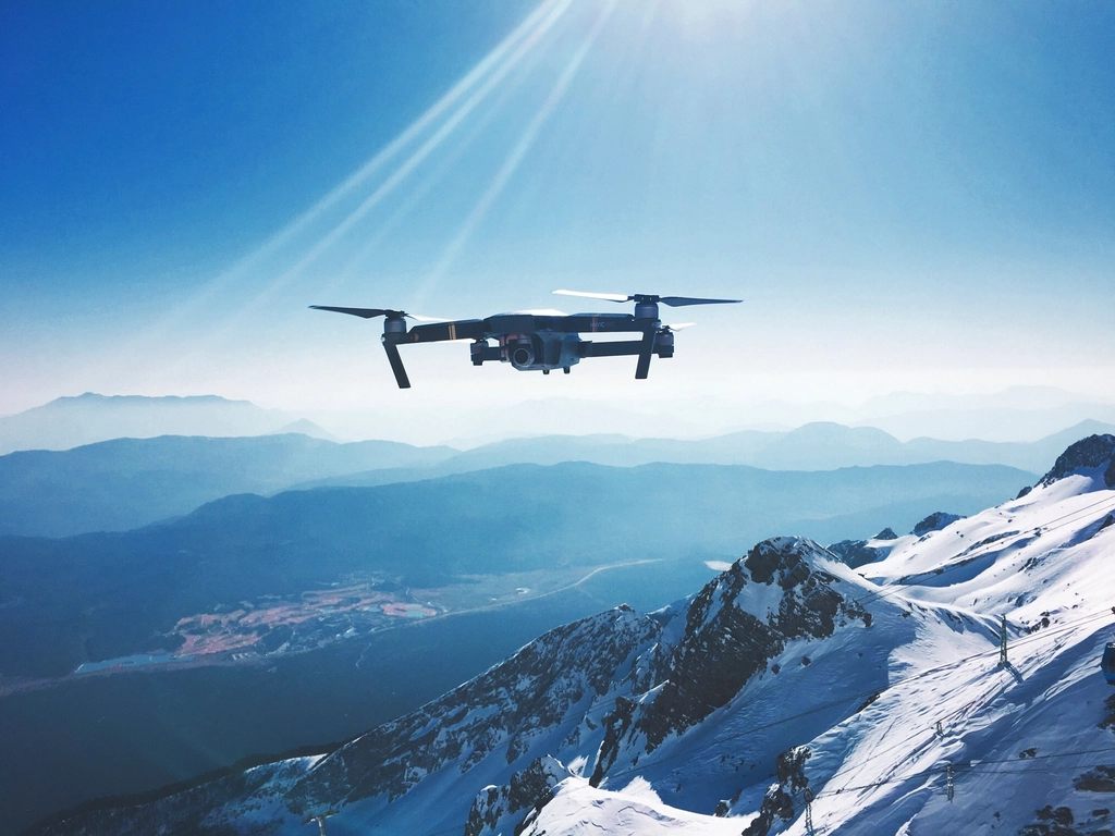
High-performance UAVs equipped with advanced sensors for aerial survey, mapping and 3D data capture.
Learn More about UAV / Drone Technology
14 Years of Experience
Environexis Tech India Private Limited is an emerging environmental consultancy dedicated to providing integrated environmental solutions. With 14 years of professional experience, under the leadership and vision of our Founder, Mr. Ranish Raghu, we bring technical expertise and practical knowledge to the environmental sector.
Our services include Environmental Impact Assessment (EIA), Environmental Management Plans (EMP), Environmental Clearance, regulatory compliance, environmental studies, GIS, LiDAR and drone-based solutions. We are committed to delivering reliable, innovative and sustainable solutions for a better tomorrow.
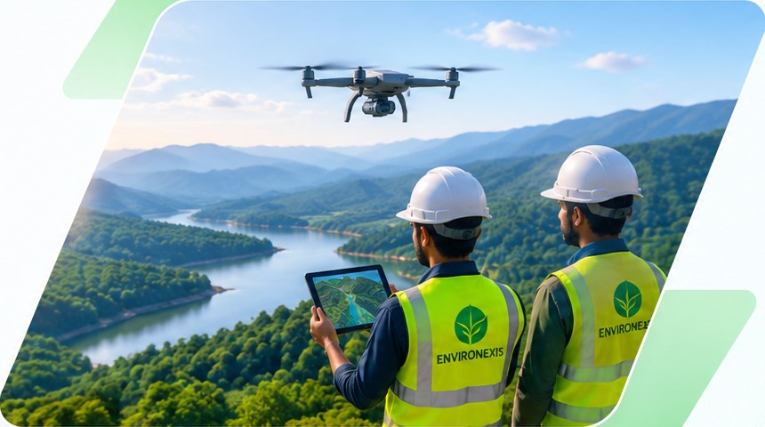
To become a trusted environmental consultancy delivering innovative solutions that balance development with environmental protection and sustainability.
To provide reliable, cost-effective, and technically sound environmental services through professional expertise and advanced technologies, building lasting relationships with our clients and contributing to a sustainable future.
Why Choose Environexis?
We combine advanced technology, technical expertise and a commitment to quality to deliver accurate geospatial insights that help you plan, build and grow with confidence.
High-precision data collection and processing for reliable and consistent results.
Accurate, validated and project-ready data for better decision-making.
Flexible and collaborative methodology to meet unique project goals and timelines.
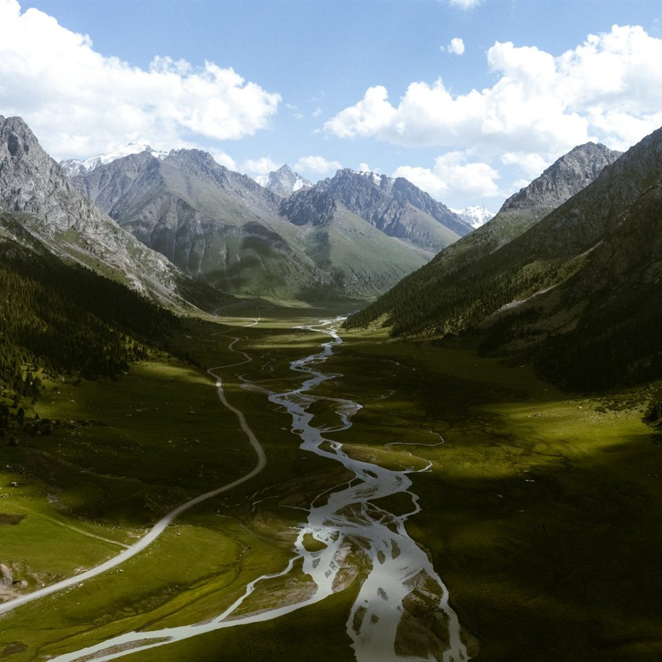
Use of the latest UAV, LiDAR and geospatial tools to deliver detailed and insightful maps.
Clear, detailed and standard compliant outputs tailored to project requirements.
Expert guidance and ongoing support from a team of geospatial professionals.
Industries We Serve
Our surveying, drone mapping and GIS solutions support a wide range of industries, helping them plan, design, monitor and manage their assets with accuracy and confidence.
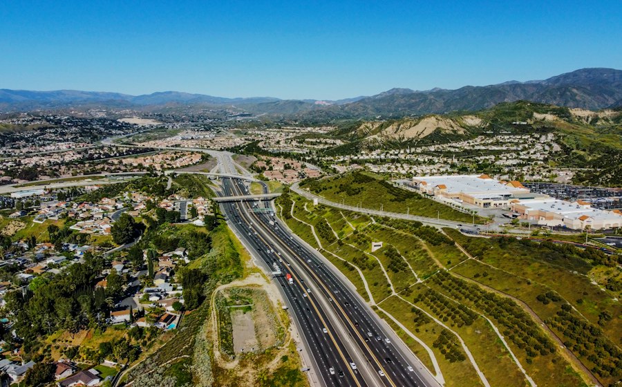
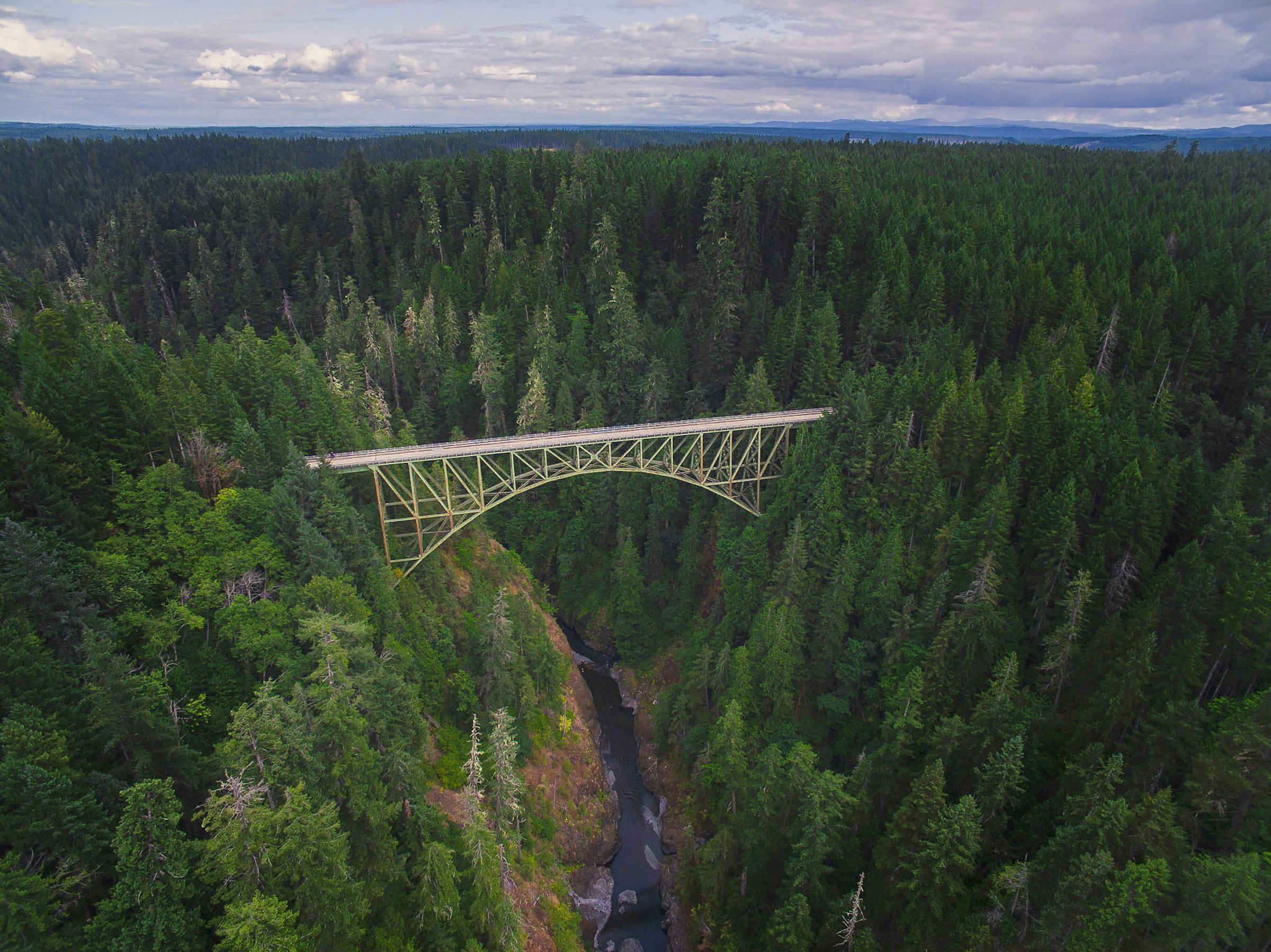
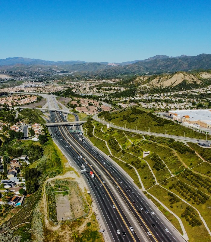
Geospatial data for highways, bridges, ports, airports and large-scale infrastructure projects.
Learn More about Infrastructure & Transportation
Accurate survey and geospatial solutions for road and railway planning, design, and construction.
Learn More about Roads & Railways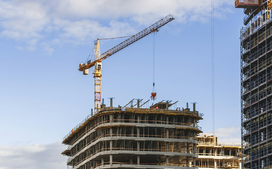
Site mapping, quantity estimation and progress monitoring for construction and real estate development projects.
Learn More about Construction & Real Estate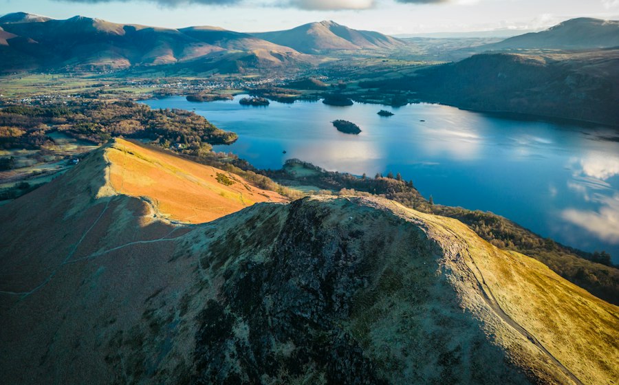
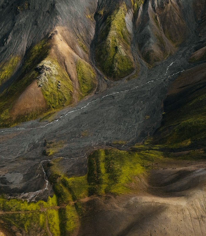
Mapping and monitoring of forests, water bodies, land use and other natural resources.
Learn More about Environmental & Natural Resource ManagementTechnology & Technical Capabilities
We leverage state-of-the-art equipment and industry-leading software to deliver high-precision geospatial data and insightful analysis for your projects.
High-performance UAVs equipped with advanced sensors for aerial survey, mapping and 3D data capture.
Learn More about UAV / Drone Technology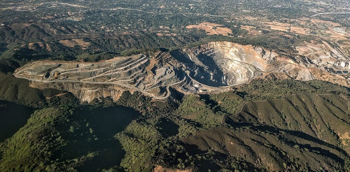
Create highly accurate orthomosaics, with surface models (DSM) and 3D models using advanced photogrammetric techniques.
Learn More about Photogrammetry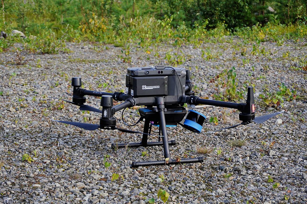
Advanced LiDAR sensors for high-precision terrain and infrastructure mapping, even in challenging environments.
Learn More about LiDAR Technology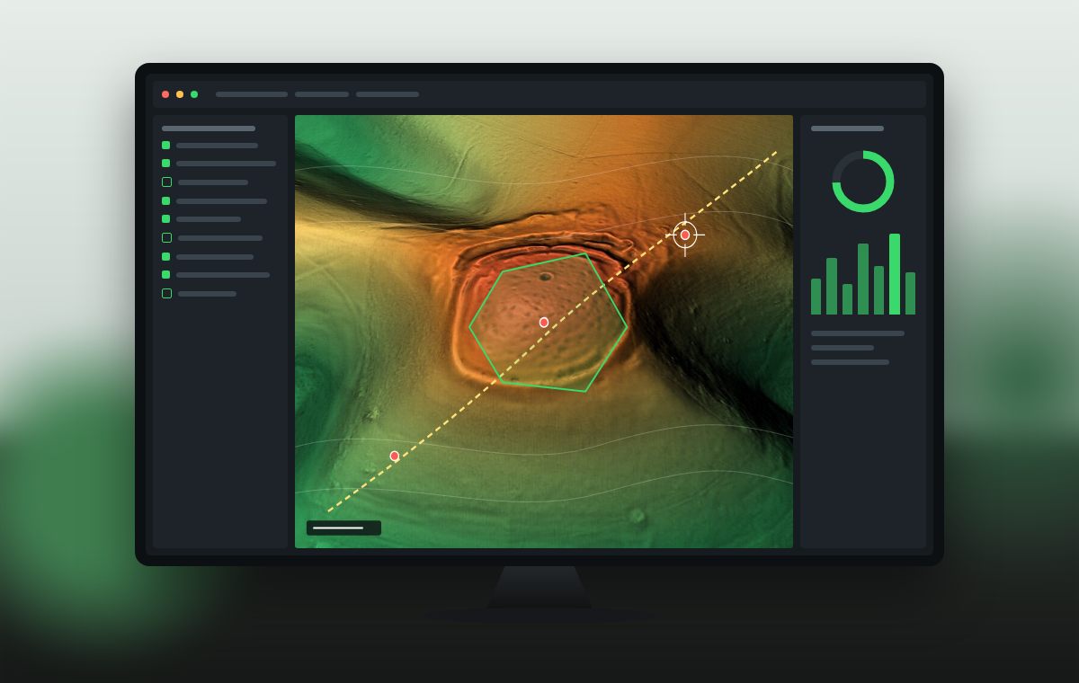
Industry-standard GIS platforms for spatial analysis, thematic mapping and data visualization.
Learn More about GIS Software & Spatial Analysis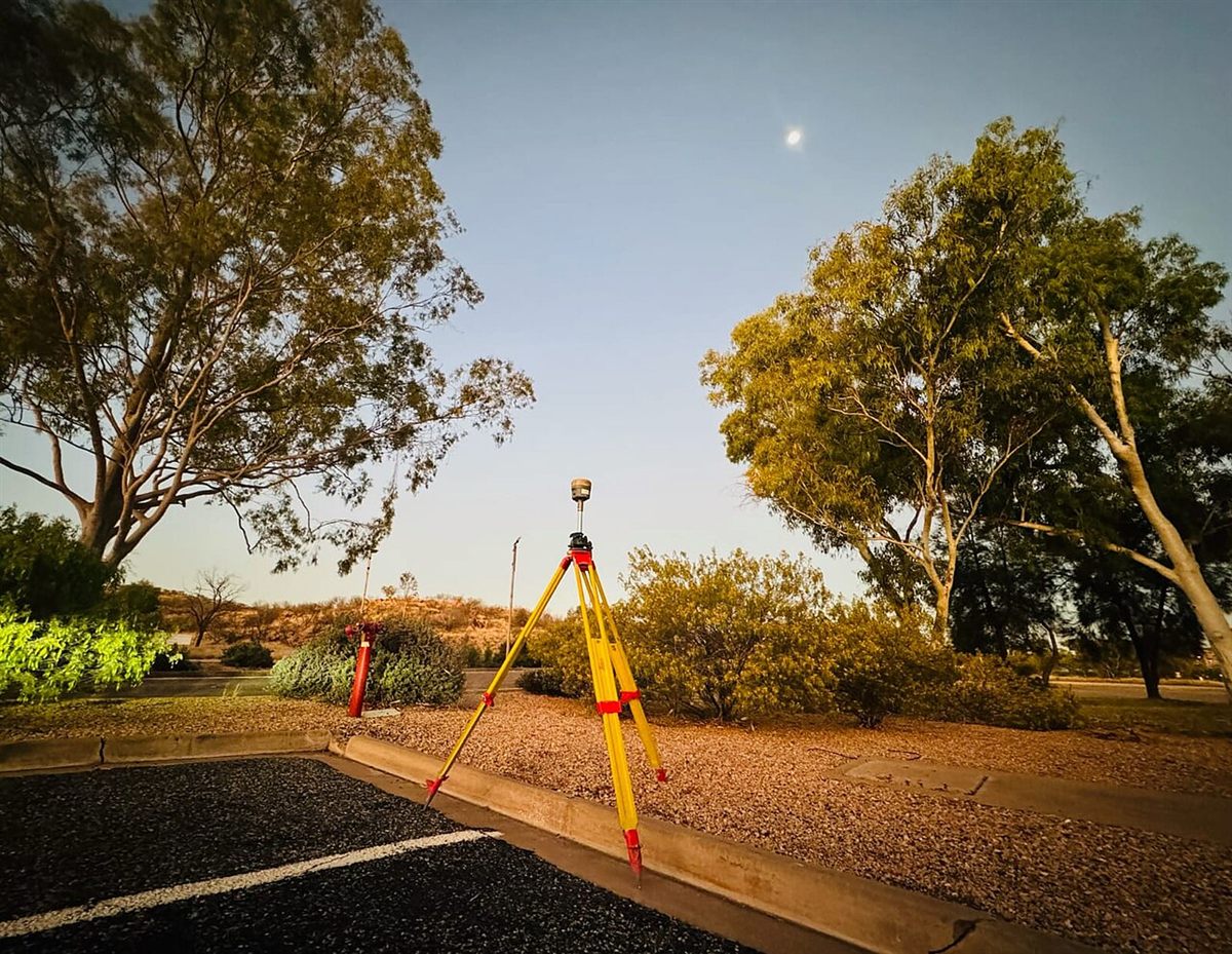
High-accuracy GNSS/RTK equipment for ground control, boundary survey and precise geospatial data collection.
Learn More about GNSS & Surveying Equipment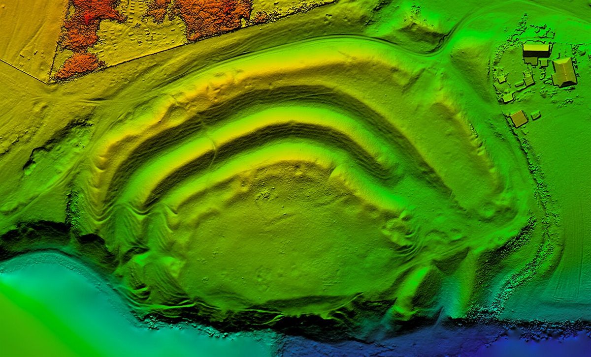
Advanced processing workflows to generate 3D terrain models, point clouds and detailed geospatial outputs.
Learn More about 3D Modelling & Data Processing
Client Testimonials
Our geospatial solutions have helped government bodies, private enterprises and development projects make informed decisions with confidence.
Environexis delivered high-quality survey data for our infrastructure project with exceptional accuracy and professionalism. Their team was responsive and technically very strong.

The drone mapping and GIS analysis provided by Environexis helped us streamline our planning process. The outputs were detailed, accurate and delivered on time.

We have worked with Environexis on multiple environmental and topographic surveys. Their commitment to quality and ability to deliver complex geospatial data is commendable.

More client stories are on the way. We are collecting feedback from recent survey, drone mapping and GIS projects and will share verified testimonials here soon.
Find answers to common questions about our geospatial solutions, services and project capabilities.
We offer a comprehensive range of geospatial services including drone surveying & mapping, LiDAR & 3D modelling, topographic surveys, GIS & spatial analysis, environmental mapping and infrastructure surveying.
Our geospatial solutions support infrastructure, construction, government departments, environmental projects, urban planning, transportation, land development and other industries requiring accurate spatial information.
We focus on delivering reliable and high-accuracy survey and mapping data using suitable surveying instruments, advanced technologies and quality-control procedures. Accuracy depends on project requirements, equipment and site conditions.
Yes. We use advanced drone mapping and LiDAR technologies where suitable for projects requiring aerial data collection, detailed terrain information, 3D modelling and spatial analysis.
Yes. We provide geospatial surveying, mapping and spatial analysis solutions for projects of varying scales, including infrastructure development and public-sector requirements.
You can contact our team through the enquiry form or contact details on our website. Share your project location, scope and requirements, and our team can discuss the suitable geospatial solutions.
Discuss your surveying, mapping and geospatial requirements with our team and get tailored solutions for your project.