





Contact Us
Get in Touch with Us
Have a project, query or collaboration in mind? Reach out to our team for geospatial solutions, environmental assessments and project support.
Address
2nd Floor, Tech Park, West Fort
Thrissur, Kerala, India - 680004Email
Phone
Working Hours
Mon - Fri, 9:00 AM - 6:00 PM
Get in Touch
Let’s Discuss Your Next Project
Have a project in mind or looking for reliable geospatial solutions? Share your requirements with us. Our team will get in touch to understand your needs and explore how we can help.

FrequentlyAsked Questions
Find answers to common questions about our geospatial solutions, services and project capabilities.
We offer a comprehensive range of geospatial services including drone surveying & mapping, LiDAR & 3D modelling, topographic surveys, GIS & spatial analysis, environmental mapping and infrastructure surveying.
Our geospatial solutions support infrastructure, construction, government departments, environmental projects, urban planning, transportation, land development and other industries requiring accurate spatial information.
We focus on delivering reliable and high-accuracy survey and mapping data using suitable surveying instruments, advanced technologies and quality-control procedures. Accuracy depends on project requirements, equipment and site conditions.
Yes. We use advanced drone mapping and LiDAR technologies where suitable for projects requiring aerial data collection, detailed terrain information, 3D modelling and spatial analysis.
Yes. We provide geospatial surveying, mapping and spatial analysis solutions for projects of varying scales, including infrastructure development and public-sector requirements.
You can contact our team through the enquiry form or contact details on our website. Share your project location, scope and requirements, and our team can discuss the suitable geospatial solutions.

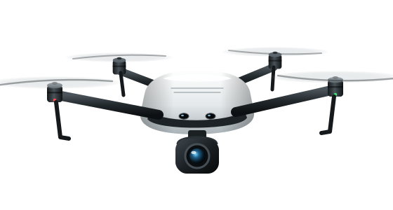
Have a Project ThatNeeds Precision?
Discuss your surveying, mapping and geospatial requirements with our team and get tailored solutions for your project.
- AccurateData
- BetterPlanning
- SustainableDevelopment